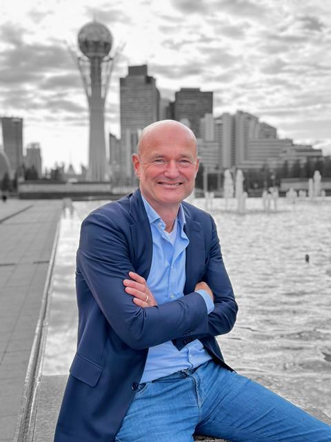
By Pierre du Rostu (pictured, top), CEO of AXA Digital Commercial Platform and Berend de Jong (pictured, below), global insurance and finance lead at Planet
The climate crisis may have slid down the political priority list in some parts of the world, but the world has not stopped getting hotter.

According to a recent report, based on many assessment cycles of peer-reviewed evidence, human activity is pushing up temperatures and causing more extreme weather events, including floods, storms and wildfires.
Europe is the fastest-warming continent, but the impact is worldwide. And insurers know this better than most.
Claims from natural disasters are rising in frequency and cost. This has created a protection gap. In many places, expected losses now exceed what insurers can affordably price.
Some insurers may feel powerless. Those that follow the traditional model, which involves using historical data to predict the future, are finding that this no longer works. Yesterday has become a poor guide to tomorrow.
But Earth Observation changes things. Satellites in rapidly growing numbers circle our world every day, capturing terabytes of imagery that can then be crunched and turned into usable insights.
There are public missions, such as the European Space Agency’s Copernicus programme, but also commercial constellations run by companies like Planet, which operates the largest constellation of commercial Earth observation satellites in history.
The fleet images nearly every place on Earth’s landmass every day, tracking change and helping to provide insights across the world’s land, forests and waterways.
What this means is that insurers can now address natural disasters like never before.
Armed with precise information about an unfolding flood, for example, they can respond at a speed and with a level of understanding that is unprecedented.
Aided by AI analysis, Earth Observation and ground data can allow insurers to identify patterns to address a catastrophic event before it takes place.
For example, a satellite circling Earth can show dry bush dangerously close to power lines, allowing teams on the ground to clear the area, reduce fire risk and protect residents.
After an event, such as a wildfire or flood, insurers can map the extent of the damage to buildings and structures without delay or costly loss adjustment.
That accelerates the claims-making and claims-processing stage so that people can bounce back quickly. In other words, faster claims reduce stress in those affected and support their economic recovery.
Yes, there are limits. Not every natural catastrophe can be predicted or prevented. Certainly, Earth Observation technology cannot by itself address systemic climate risk.
But it has a vital role to play in the adaptation and resilience of society in that it gives people the security and protection they need to continue working, taking risks and contributing to the economy. And only in a healthy economy is it likely that long-term solutions to the climate crisis will emerge.
Insurance is becoming more progressive, more cutting-edge, more dynamic. Insurers are becoming the risk partners of their clients, rather than those who pick up the pieces after an unfortunate event.
Imagery from space is becoming more frequent, more timely and more insightful for pattern recognition and change detection. Together, we can make sure that companies have the best support available at a time of great uncertainty.


No comments yet